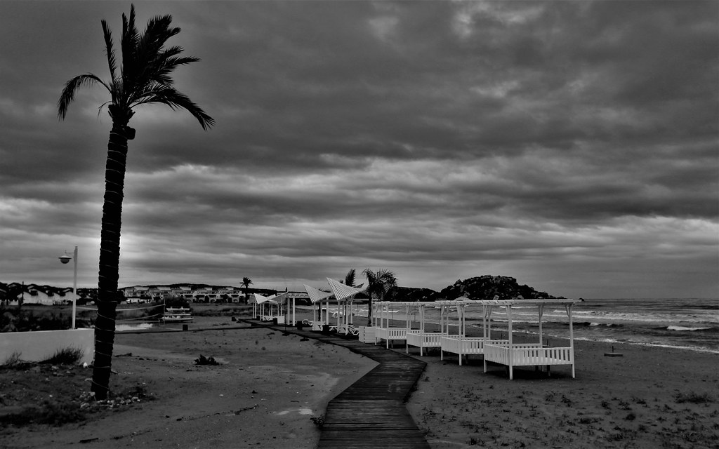
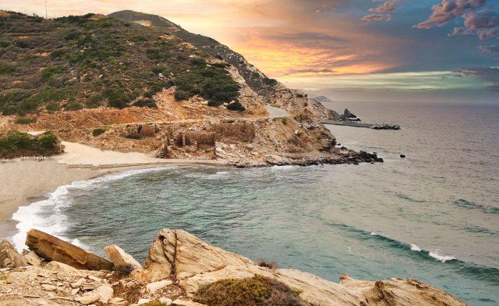
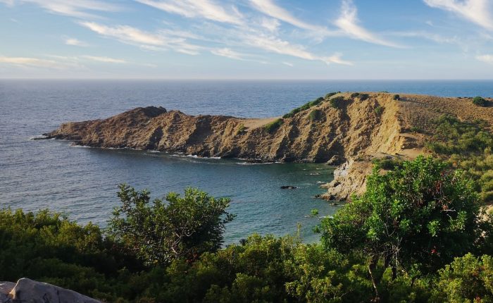
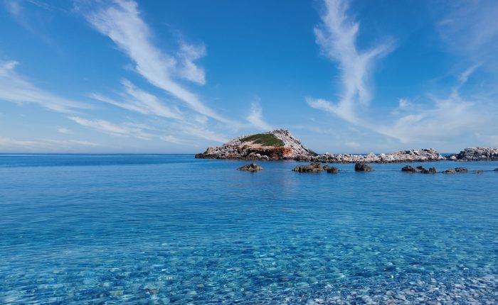
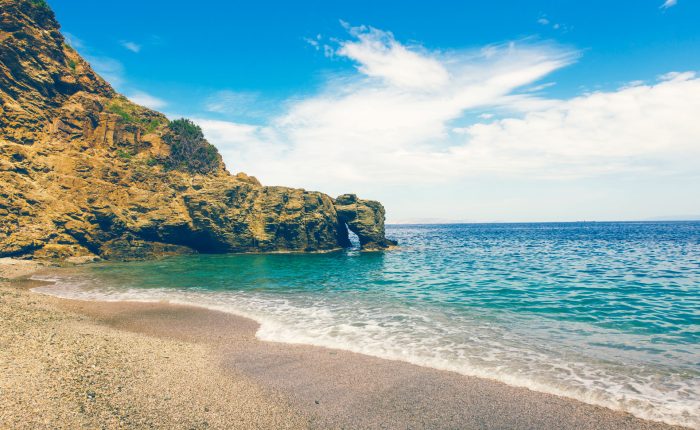
Nestled in a secluded part of the Sisses community in Mylopotamos, within the Talea Range, Bogazi beach is located just east of the German outpost of Pyrgos peak. This destination is largely unknown to most, given its inaccessibility, which can only be reached by boat. The beach is marked by the presence of a stream lined with plane trees which flows throughout the year, and its eastern orientation, along with the striking rocks to the north, make it one of the few beaches on the northern coast of Rethymnon that isn’t affected by waves.
- Home
- Beaches
- Hotels
- Cretan Products
- Cretan food
- Cretan extra virgin olive oil
- Cretan olives
- Cretan honey
- Cretan honey bars
- Cretan petimezi
- Cretan vinegar
- Cretan tea
- Cretan herbs
- Cretan biscuits
- Cretan carob products
- Cretan coffee
- Cretan natural syrups
- Cretan pasta
- Cretan raisins
- Cretan rusks
- Cretan sauces
- Cretan sea salt
- Cretan snail delicacies
- Cretan sweet fruit preserves
- Cretan vegetable delicacies
- Cretan drinks
- Cretan cosmetics
- Cretan culture products
- Cretan gifts
- Books about Crete
- Cretan food
- Car Hire
- Crete Taxi
- Services
- About Us
- Contact